NWS Albany - Record Cold Weather & Snow Squalls Tonight - issued Tuesday, November 12, 2019 345 PM

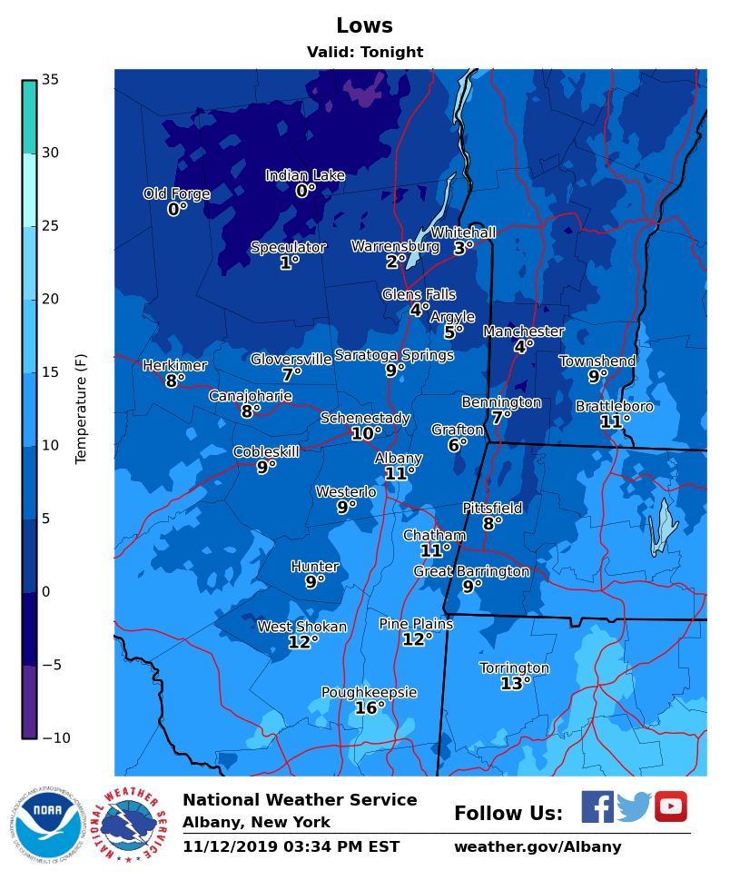
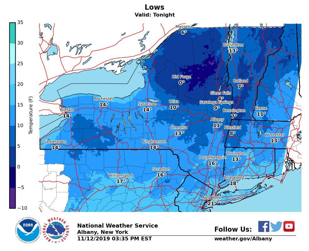
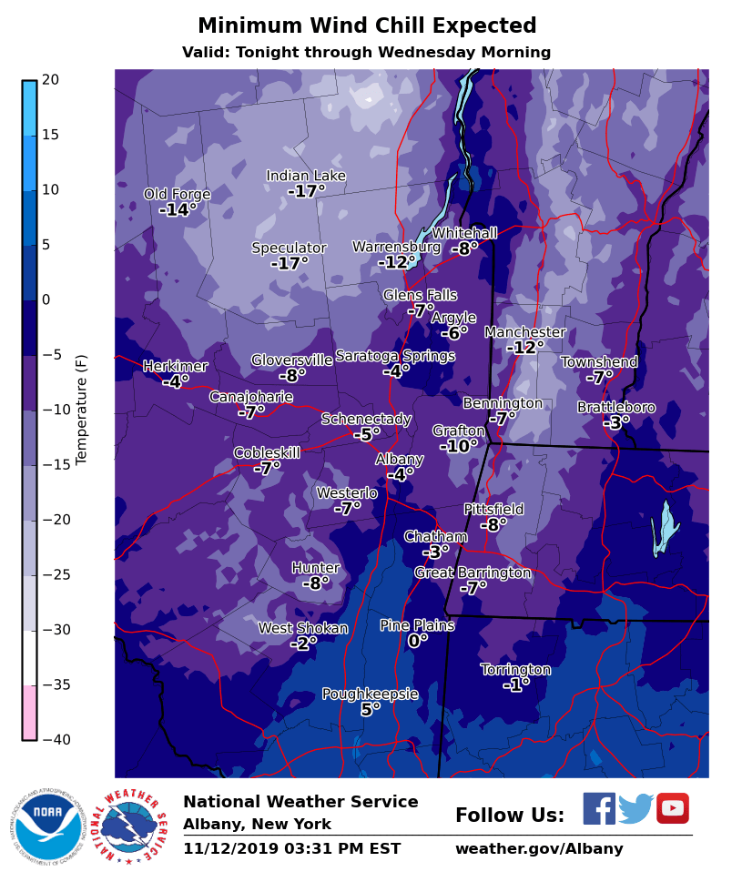
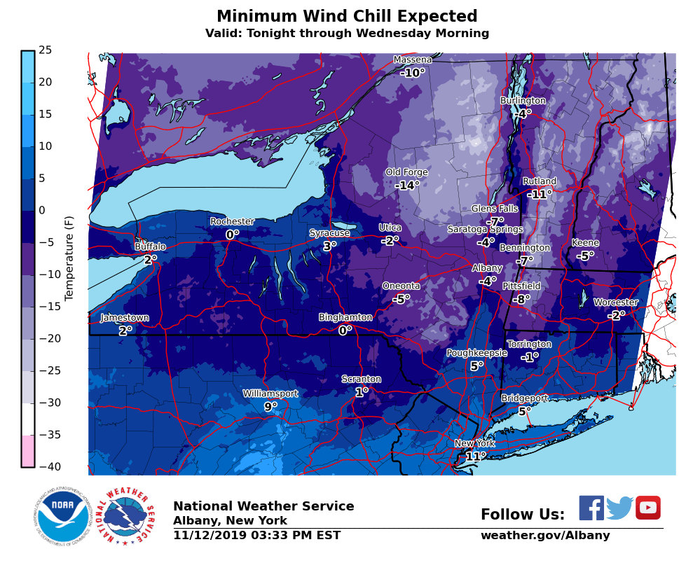
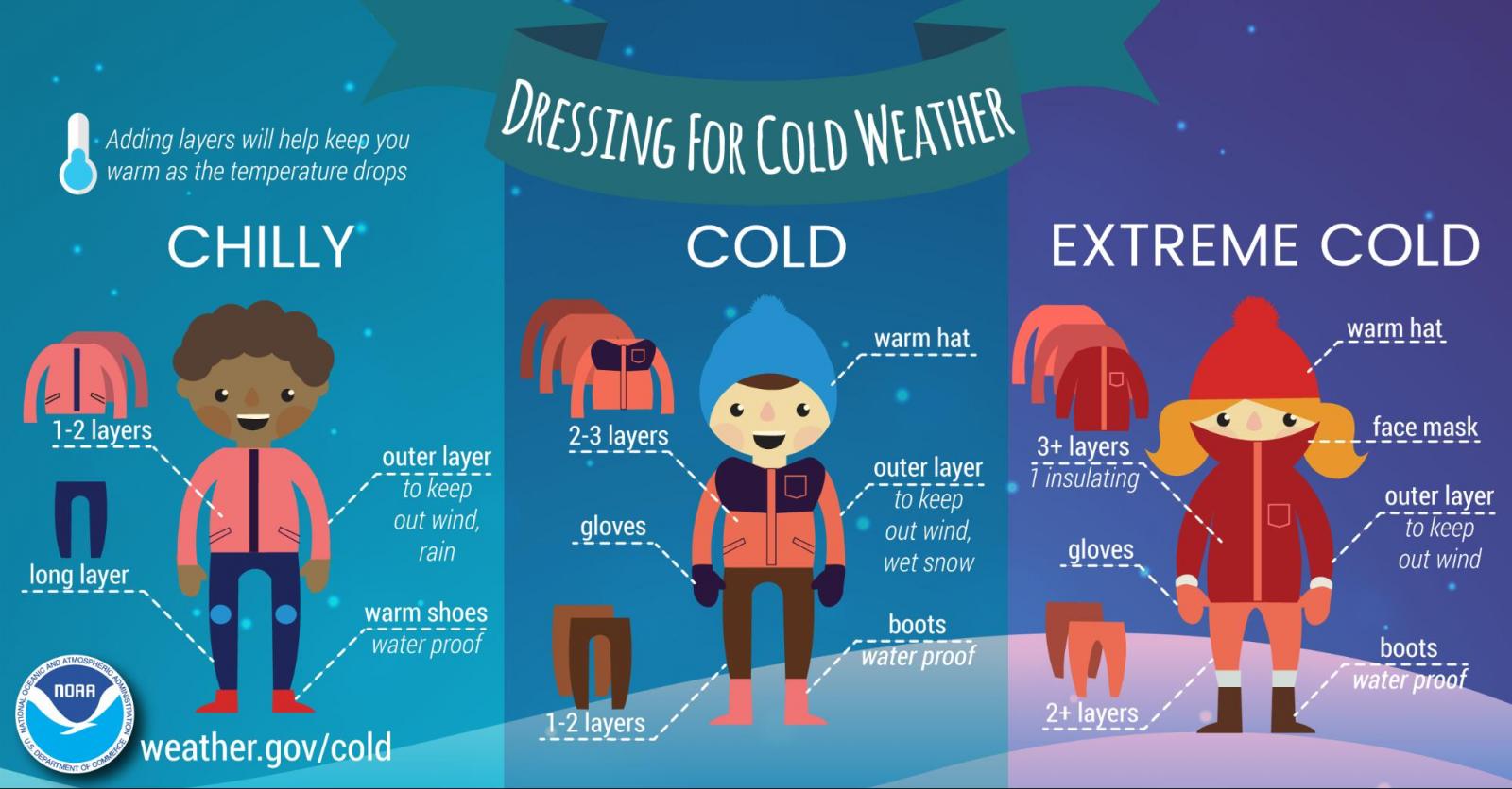
**** The information in this email pertains to the following areas only:**** *- In Connecticut: Litchfield County* *- In Massachusetts: Berkshire County* *- In Vermont: Bennington & Windham Counties* *- In New York: Albany, Columbia, Dutchess, Fulton, Hamilton, Herkimer, Montgomery, Greene, Rensselaer, Saratoga, Schenectady, Schoharie, Ulster, Warren and Washington Counties* Dear Emergency Managers and other partners, Record breaking cold temperatures are expected tonight, as temperatures tumble into the single digits and teens, with around zero degrees across the southern Adirondacks. Across the southern Adirondacks, wind chills may drop to as low as 15 to 20 degrees below zero overnight into Wednesday morning. Elsewhere, wind chills will drop to between zero and 10 degrees below zero. In addition, a few snow squalls are possible this evening down the Mohawk Valley, Schoharie County and Helderbergs, Capital District into the Taconics and Berkshires. Please refer to the attached images for more specific details on forecast low temperatures and wind chills tonight. If you have any questions, please feel free to contact us via: 1. Email: alb.stormreport@noaa.gov 2. NWSChat at https://nwschat.weather.gov/live/ 3. Social Media: Facebook <https://www.facebook.com/NWSAlbany> and Twitter <https://twitter.com/NWSAlbany> 4. Telephone: (518) 435-9575 <518-435-9575> Sincerely, NWS Albany www.weather.gov/albany
participants (1)
-
 ALB Stormreport - NOAA Service Account