[2020-10-06 AM] NWS Boston EM Briefing - Marginal Risk for Severe Storms Wednesday Afternoon

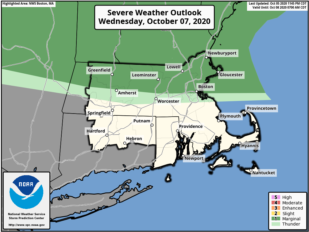
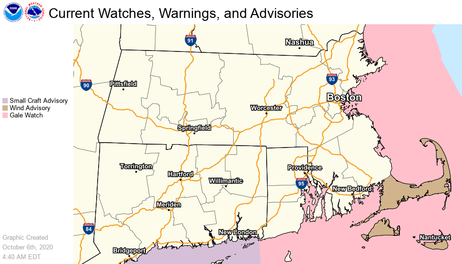
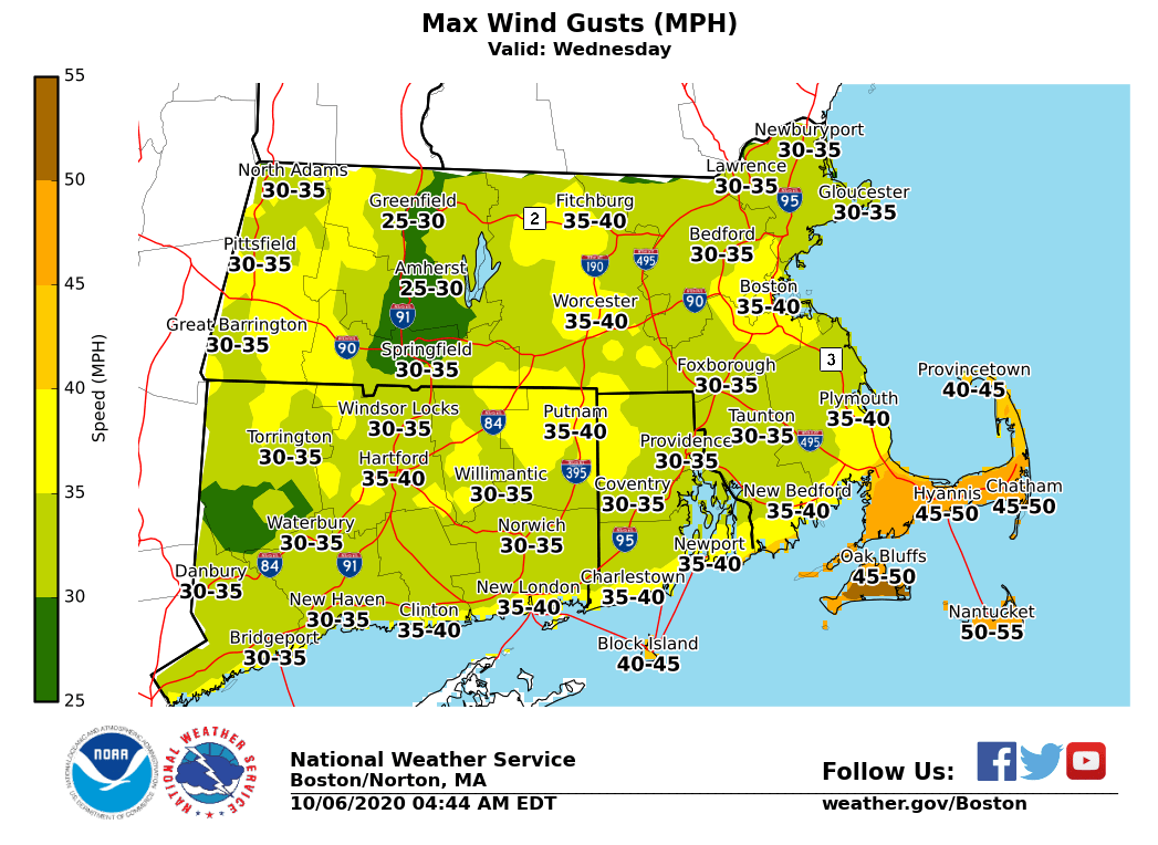
Good morning, A strong cold front will bring the threat for isolated strong to severe thunderstorms across portions of Southern New England. A Wind Advisory has also been posted for the Cape and Islands from Wednesday at noon to Thursday at 2 AM for both pre and post-frontal winds with gusts up to 50 mph. *What...*Isolated strong to severe thunderstorms with damaging winds. *Where...*Much of southern New England, but especially Cape Cod and the Islands, where a Wind Advisory has been issued. *When...*Wednesday afternoon into evening. *Concerns...*With trees still fully leaved across the region, strong winds could bring down trees and power lines. *Forecast confidence...*There is uncertainty in the coverage of damaging winds. Currently, the confidence is highest across the Cape and the Islands. Future shifts will monitor the need to expand the coverage. Rodney Chai and Matthew Belk If you have any questions or would like more information, don't hesitate to contact us via this email address, on NWSChat <https://nwschat.weather.gov/>, or at the following: National Weather Service Boston/Norton, MA 46 Commerce Way Norton, MA 02766 508.622.3280 Website <http://www.weather.gov/boston> | Facebook <http://www.facebook.com/NWSBoston> | Twitter <http://www.twitter.com/NWSBoston>
participants (1)
-
 BOX Operations - NOAA Service Account