[2023.02.22 AM] NWS Boston EM Briefing: Wintry Mix Wed evening into Thu night

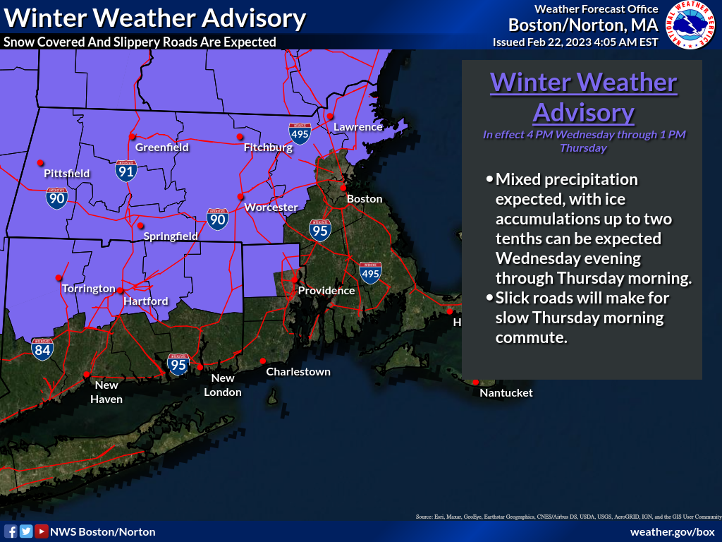
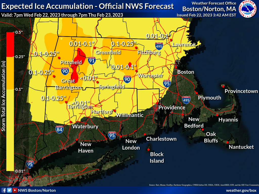
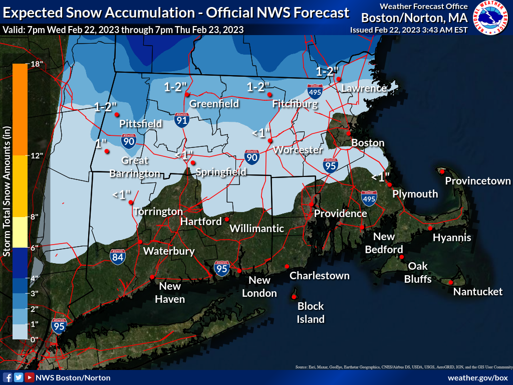
Good morning, A wintry mix of precipitation will overspread CT, RI and MA between 5 pm and 9 pm Wednesday, and continue into Thursday morning. Precipitation will mainly rain across much of RI and southeast MA. Steady precipitation Thursday morning transitions to spotty light freezing drizzle Thursday afternoon, especially across northern MA. Colder air may spread south and east Thursday afternoon and evening into eastern MA, including the Greater Boston area. This may result in a flash freeze, with any standing water/slush freezing, resulting in slippery travel. Another round of wintry precipitation may impact the region Thursday night, especially northern MA. Attached is an expected storm total ice & snowfall graphics, and a Winter Weather Advisory map. In addition, a simulated radar loop is included, not expected to be exact, but to provide an overview of precipitation type, timing and evolution of precipitation for the entire event through Thursday night. Torry Gaucher and Frank Nocera If you have any questions or would like more information, don't hesitate to contact us via this email address, on NWSChat <https://nwschat.weather.gov/>, or at the following: National Weather Service Boston/Norton, MA 46 Commerce Way Norton, MA 02766 508.622.3280 Website <http://www.weather.gov/boston> | Facebook <http://www.facebook.com/NWSBoston> | Twitter <http://www.twitter.com/NWSBoston>
participants (1)
-
 BOX Operations - NOAA Service Account