[03.29.23 PM] NWS Boston EM Briefing: Possible Snow Squalls Late Tonight to Overnight

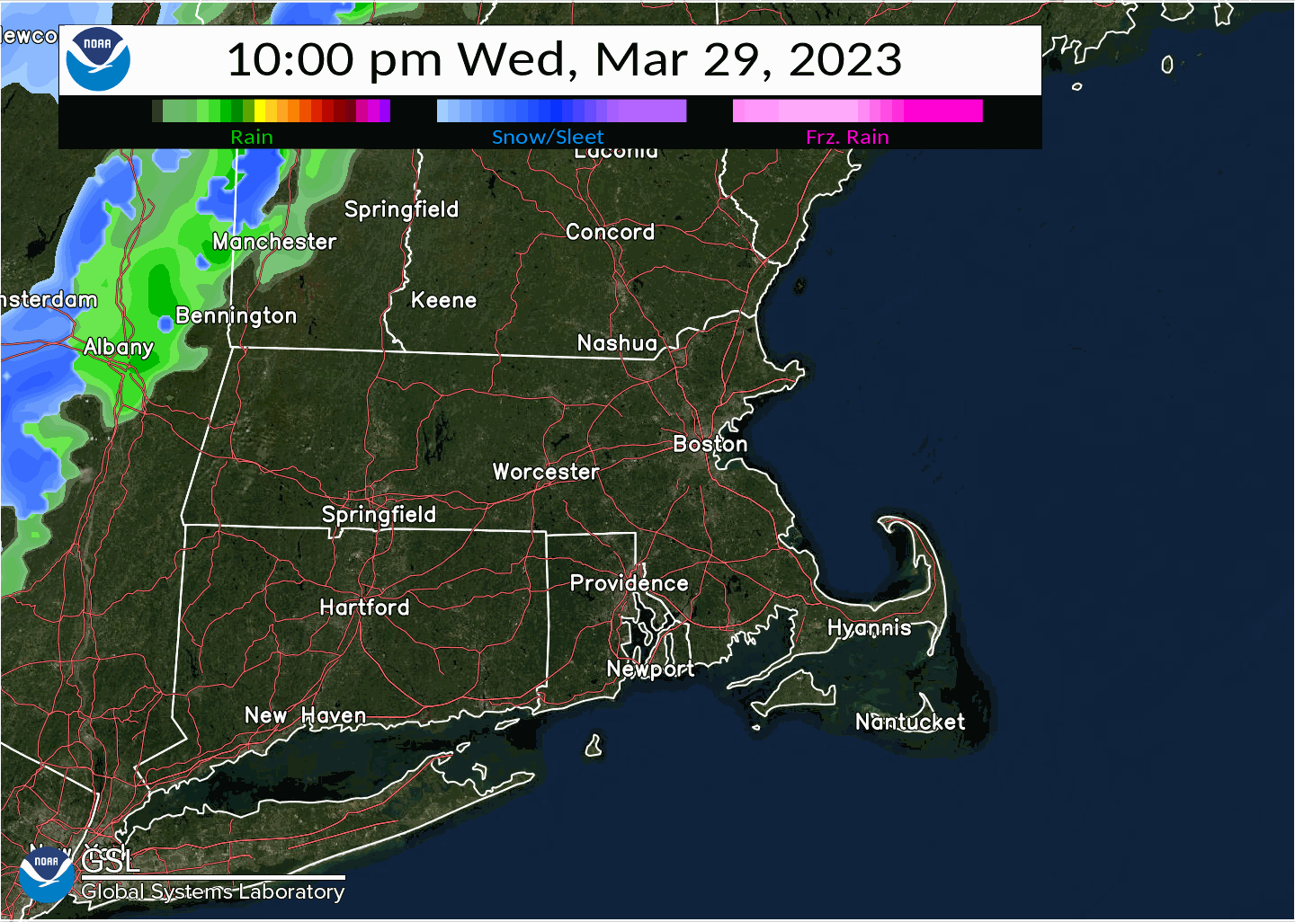
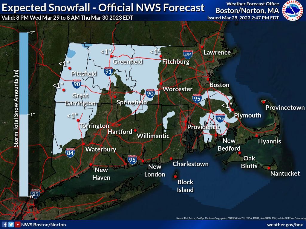
Good afternoon: Following is an update regarding the potential for low-visibility snow showers or possible snow squalls. Forecast remains little changed from what was briefed this morning. Timing continues to be centered around late tonight to early overnight, from 9 PM Wednesday to 3 AM Thursday. In this period, we anticipate initial rain to change to a short, quick-hitting period of moderate to heavy snow which has the potential to reduce visibility significantly and could result in slippery untreated roads (especially secondary and side streets). Snow amounts themselves will not be significant and in most cases will be less than an inch - it s the rapid reduction in visibility and changing road conditions which will pose the greatest hazard. Weakening trends are also anticipated as the cold front producing these conditions moves eastward. Thus, the greatest confidence in potential for adverse impact continues to be mainly west of Worcester, with reduced confidence in impacts into eastern MA and RI. Unless there are significant changes, this will be the final briefing regarding this weather situation. However we ask you to monitor for short-fused Special Weather Statements, or Snow Squall Warnings in a case of visibility falling to near zero in bursts of heavy snow, which could be needed tonight into the overnight. Thank You! Meteorologists: Andrew Loconto and Matthew Belk If you have any questions or would like more information, don't hesitate to contact us via this email address, on NWSChat <https://nwschat.weather.gov/>, or at the following: National Weather Service Boston/Norton, MA 46 Commerce Way Norton, MA 02766 508.622.3280 Website <http://www.weather.gov/boston> | Facebook <http://www.facebook.com/NWSBoston> | Twitter <http://www.twitter.com/NWSBoston>
participants (1)
-
 BOX Operations - NOAA Service Account