[Feb 18 351 AM] NWS Boston Emergency Management Weather Briefing - Brief Period of Wintry Mix for the Higher Terrain of Massachusetts

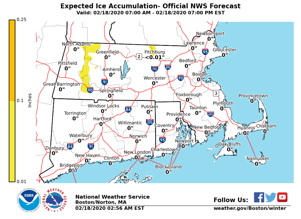
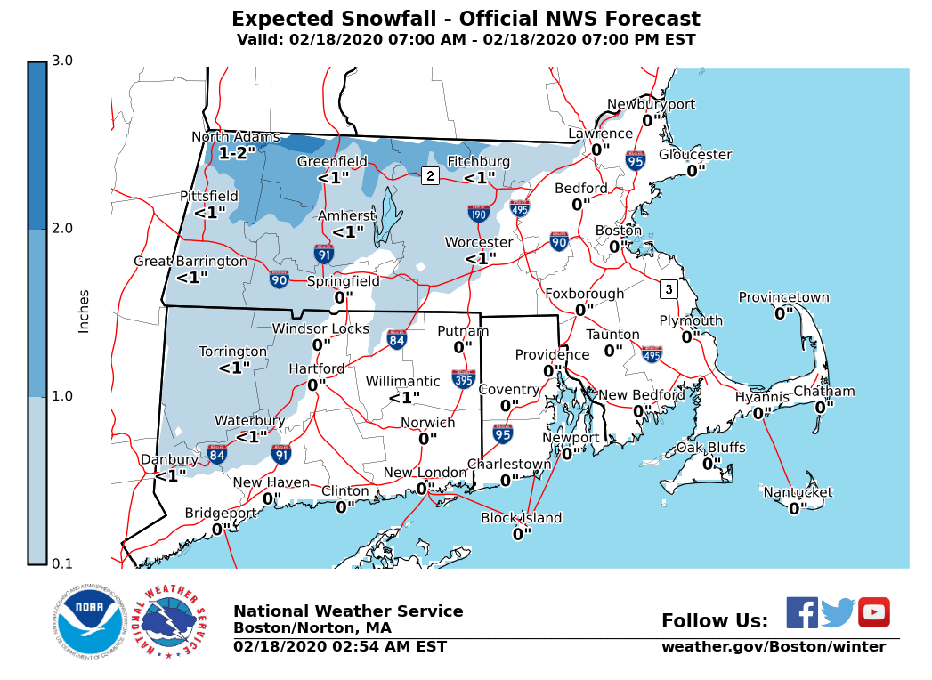
Good morning, Based on our morning forecast, the following is an update to the expected light wintry weather event today, bringing some slippery travel impacts mainly to elevations near and above 1000 ft. *Changes from Prior Briefing:* *Winter Weather Advisory for the eastern slopes of the Berkshires. In effect from 10 AM until 5 PM today. * *Details:* *What ... *A brief period of snow or sleet to light freezing rain, before changing over to all rain. *Where ...* Primarily the eastern slopes of the Berkshires; lesser snow & ice accumulation also possible into the Worcester Hills. *Timing ...* Starting as snow around mid-to-late-morning today; sleet and freezing rain early this afternoon, ending as rain into mid to late this afternoon. *Impacts ...* Untreated surfaces near and above 1000 ft will become slick from light icing and snow. Wet roads expected elsewhere. *Forecast Confidence ...* High confidence in a short-duration wintry weather event, with a light snow accumulation (coating to 2") and minor icing (trace to less than a tenth of an inch) at elevations near and above 1000 ft. Though minor impacts are expected, expansion of the Winter Weather Advisory into northern Worcester County may be needed if a greater areal coverage of icing becomes more likely. *Attached Graphics:* - Expected Snow Totals. - Expected Ice Accumulation. Thank You Meteorologist: Andrew Loconto If you have any questions or would like more information, don't hesitate to contact us via this email address, on NWSChat <https://nwschat.weather.gov/>, or at the following: National Weather Service Boston/Norton, MA 46 Commerce Way Norton, MA 02766 508.622.3280 Website <http://www.weather.gov/boston> | Facebook <http://www.facebook.com/NWSBoston> | Twitter <http://www.twitter.com/NWSBoston>
participants (1)
-
 BOX Operations - NOAA Service Account