
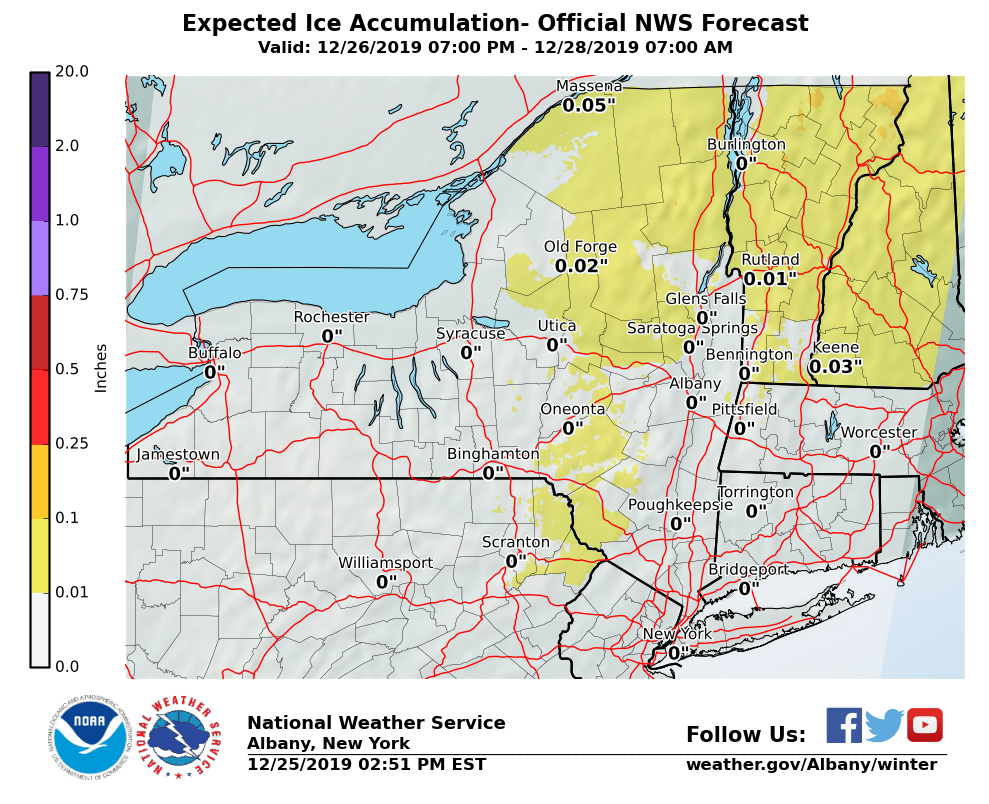
**** The information in this email pertains to the following areas only:**** *- In Massachusetts: Berkshire County* *- In Vermont: Bennington & Windham Counties* *- In New York: Albany, Columbia, Dutchess, Fulton, Hamilton, Herkimer, Montgomery, Greene, Rensselaer, Saratoga, Schenectady, Schoharie, Ulster, Warren and Washington Counties* Dear Emergency Managers and other partners, *Not much change from previous forecast.* A light wintry mix, including some freezing rain remains possible late Thursday night through Friday morning, with the greatest chance occurring north of Interstate 90. Locally icy travel conditions will be possible Friday morning. Please see the attached image with potential light ice accumulations ranging from a trace to less than a tenth of an inch. If you have any questions, please feel free to contact us via: 1. Email: alb.stormreport@noaa.gov 2. NWSChat at https://nwschat.weather.gov/live/ 3. Social Media: Facebook <https://www.facebook.com/NWSAlbany> and Twitter <https://twitter.com/NWSAlbany> 4. Telephone: (518) 435-9575 <518-435-9575> Sincerely, NWS Albany www.weather.gov/albany