NWS Albany - Winter Weather and Snow Potential this Weekend - Issued 4:30 PM Friday, January 3, 2020

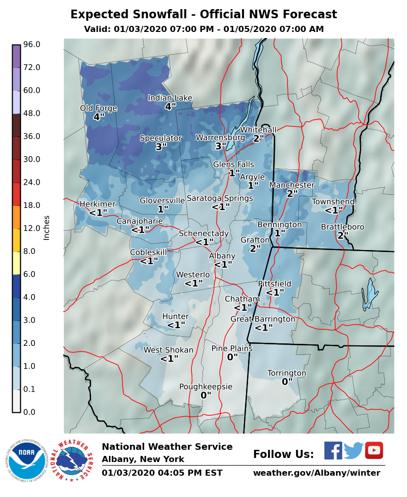
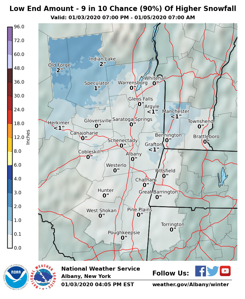
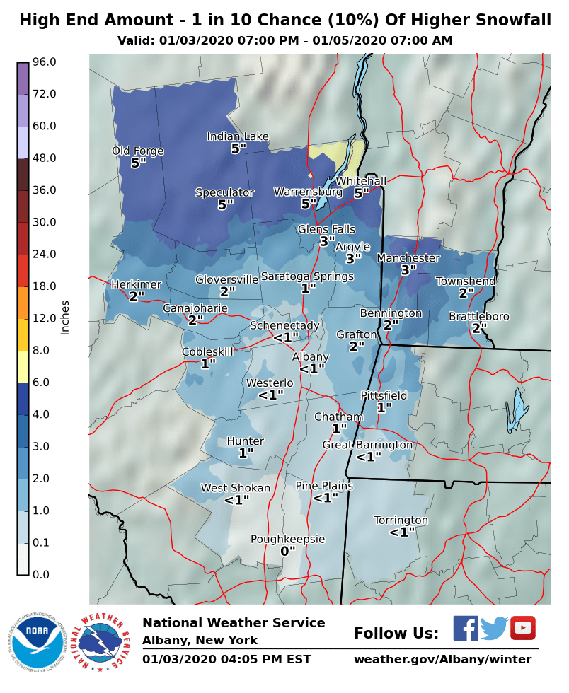
**** The information in this email pertains to the following areas only:**** *- In Connecticut: Litchfield County* *- In Massachusetts: Berkshire County* *- In Vermont: Bennington & Windham Counties* *- In New York: Albany, Columbia, Dutchess, Fulton, Hamilton, Herkimer, Montgomery, Greene, Rensselaer, Saratoga, Schenectady, Schoharie, Ulster, Warren and Washington Counties* Dear Emergency Managers and other partners, A storm system this weekend will bring a mix of precipitation to the region. For the southern Adirondacks, Lake George/Northern Saratoga Region, and high peaks of the Green Mountains mixed rain and snow Saturday will transition to all snow by Saturday afternoon. The snow will end early Saturday evening. Total accumulations of 3-5" are expected across the higher elevations of this area. Given limited areal extent, no winter weather advisories were posted. Across the eastern Catskills, Taconics and Berkshires 1-2" is expected. A dusting is likely in valley locations. Please consult attached maps for more specific information. The next storm system impacts the region Tuesday night into Wednesday with a light snowfall likely. If you have any questions, please feel free to contact us via: 1. Email: alb.stormreport@noaa.gov 2. NWSChat at https://nwschat.weather.gov/live/ 3. Social Media: Facebook <https://www.facebook.com/NWSAlbany> and Twitter <https://twitter.com/NWSAlbany> 4. Telephone: (518) 435-9575 <518-435-9575> Sincerely, NWS Albany www.weather.gov/albany
participants (1)
-
 ALB Stormreport - NOAA Service Account