
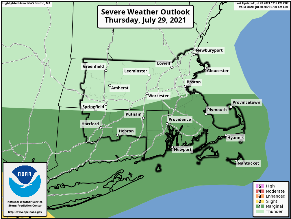
Good afternoon, Attached is the latest weather briefing regarding isolated strong to severe thunderstorms late Thursday into the early morning hours Friday. The main change from the weather briefing sent early this morning was an adjustment further south to the area of isolated severe weather risk, focused to areas south of the Massachusetts Turnpike. Strong winds and a low probability of a tornado are the main severe weather concerns, but the confidence in severe weather occurrence is low. Our next briefing will be sent no later than 6 AM Thursday. Thank You! Meteorologists: Andrew Loconto and Nicole Belk If you have any questions or would like more information, don't hesitate to contact us via this email address, on NWSChat <https://nwschat.weather.gov/>, or at the following: National Weather Service Boston/Norton, MA 46 Commerce Way Norton, MA 02766 508.622.3280 Website <http://www.weather.gov/boston> | Facebook <http://www.facebook.com/NWSBoston> | Twitter <http://www.twitter.com/NWSBoston>