
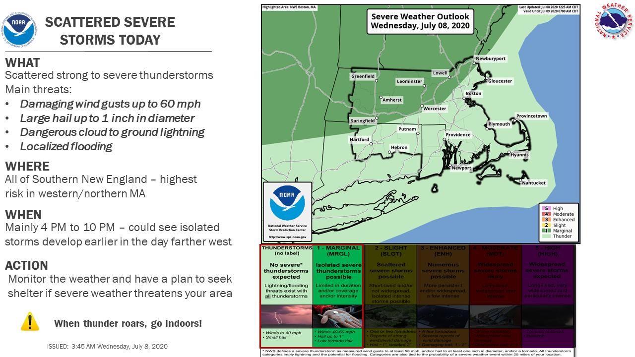
Good morning everyone, We continue to expect strong to severe thunderstorms this afternoon/evening as well as a significant rainfall event around late Friday/Saturday. *Storms Today: * The greatest risk will be across interior southern New England, mainly due to potential for damaging wind and flooding rain, with a slightly lesser risk for damaging hail. (see attached) *Significant Rainfall Late Week/Weekend: * Timing and placement of the heaviest rainfall is still uncertain, but would be sometime in the late Friday into Saturday time frame. There is a 40% chance this system could develop into a tropical cyclone over the coming days somewhere near the Mid Atlantic states. Regardless, heavy rainfall is likely with potential for flooding issues. Thank You Bryce Williams and Hayden Frank If you have any questions or would like more information, don't hesitate to contact us via this email address, on NWSChat <https://nwschat.weather.gov/>, or at the following: National Weather Service Boston/Norton, MA 46 Commerce Way Norton, MA 02766 508.622.3280 Website <http://www.weather.gov/boston> | Facebook <http://www.facebook.com/NWSBoston> | Twitter <http://www.twitter.com/NWSBoston>