
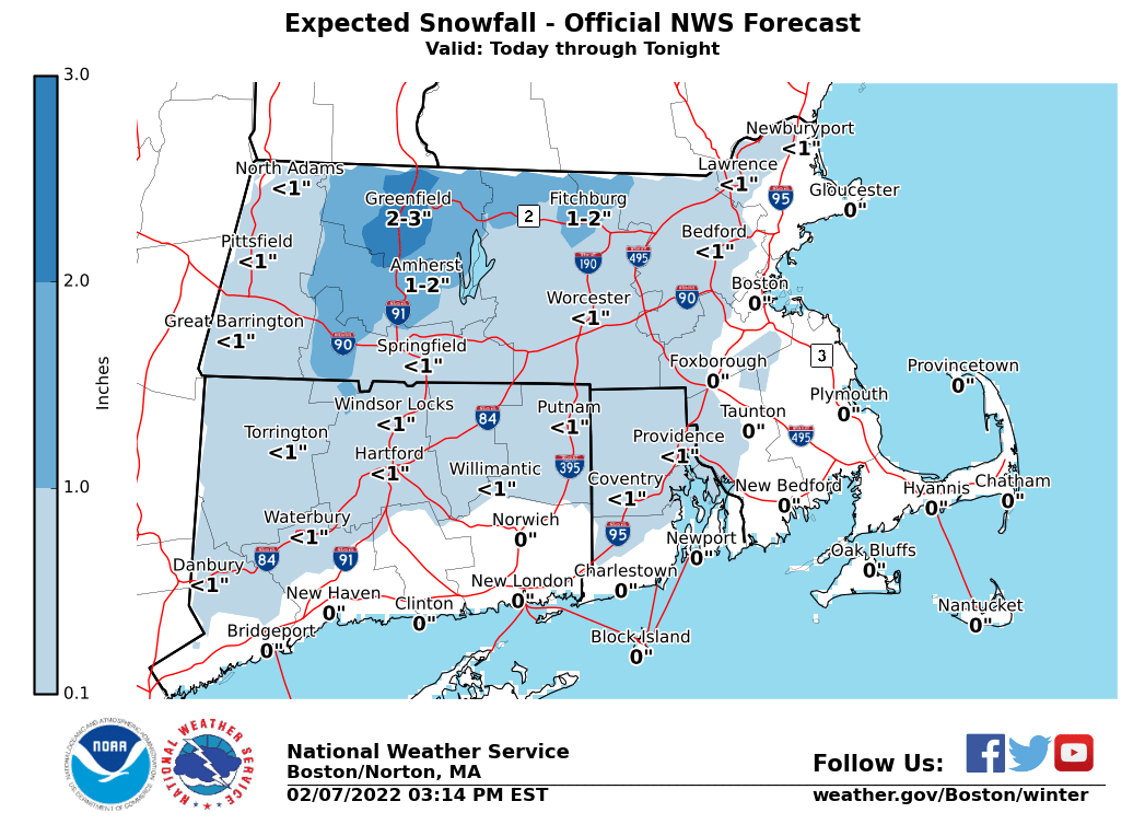
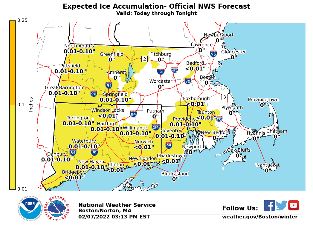
Good evening, Attached is the latest one-page briefing along with the storm total snowfall and ice accretion graphics. Since our last update temperatures have warmed across southern CT, NE CT and southern Worcester county. So, the Winter Weather Advisory has been taken down as any icing should be isolated to the higher terrain in these areas. The rest of the forecast remains on track. This is anticipated to be the final briefing for this event unless there are significant changes to the forecast. Thanks, Bill Leatham and Rob Megnia If you have any questions or would like more information, don't hesitate to contact us via this email address, on NWSChat <https://nwschat.weather.gov/>, or at the following: National Weather Service Boston/Norton, MA 46 Commerce Way Norton, MA 02766 508.622.3280 Website <http://www.weather.gov/boston> | Facebook <http://www.facebook.com/NWSBoston> | Twitter <http://www.twitter.com/NWSBoston>