
My apologies for the second email. Here is a separate image from the one in the briefing package. Matthew Belk If you have any questions or would like more information, don't hesitate to contact us via this email address, on NWSChat <https://nwschat.weather.gov/>, or at the following: National Weather Service Boston/Norton, MA 46 Commerce Way Norton, MA 02766 508.622.3280 Website <http://www.weather.gov/boston> | Facebook <http://www.facebook.com/NWSBoston> | Twitter <http://www.twitter.com/NWSBoston> On Fri, Jun 2, 2023 at 12:15 PM BOX Operations - NOAA Service Account < box.operations@noaa.gov> wrote:
Good afternoon,
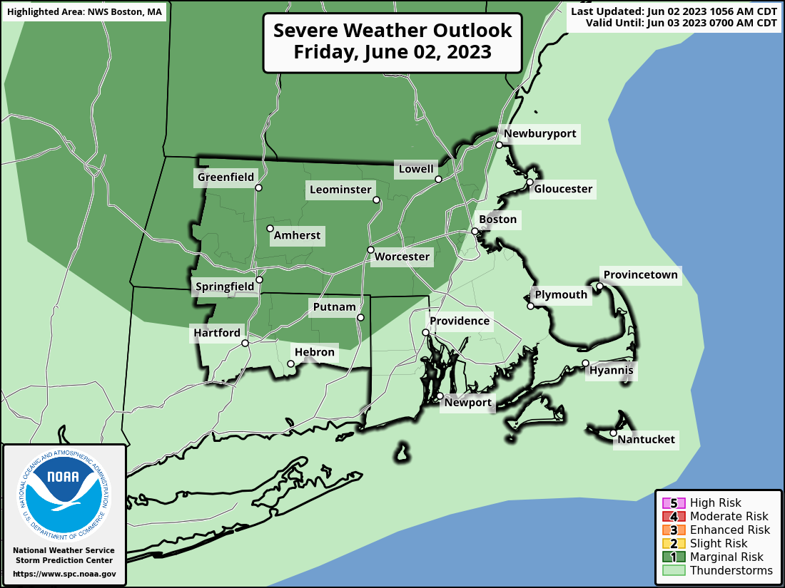
The Storm Prediction Center recently upgraded the risk for isolated to scattered strong storms across portions of interior southern New England. The stronger storms are expected to be capable of producing strong to locally damaging wind gusts. Locally heavy rainfall with urban and poor drainage street flooding is also possible. The greatest risk of strong storms will be west of the I-95 corridor.
The latest briefing is attached.
Matthew Belk
If you have any questions or would like more information, don't hesitate to contact us via this email address, on NWSChat <https://nwschat.weather.gov/>, or at the following:
National Weather Service Boston/Norton, MA 46 Commerce Way Norton, MA 02766 508.622.3280 Website <http://www.weather.gov/boston> | Facebook <http://www.facebook.com/NWSBoston> | Twitter <http://www.twitter.com/NWSBoston>