
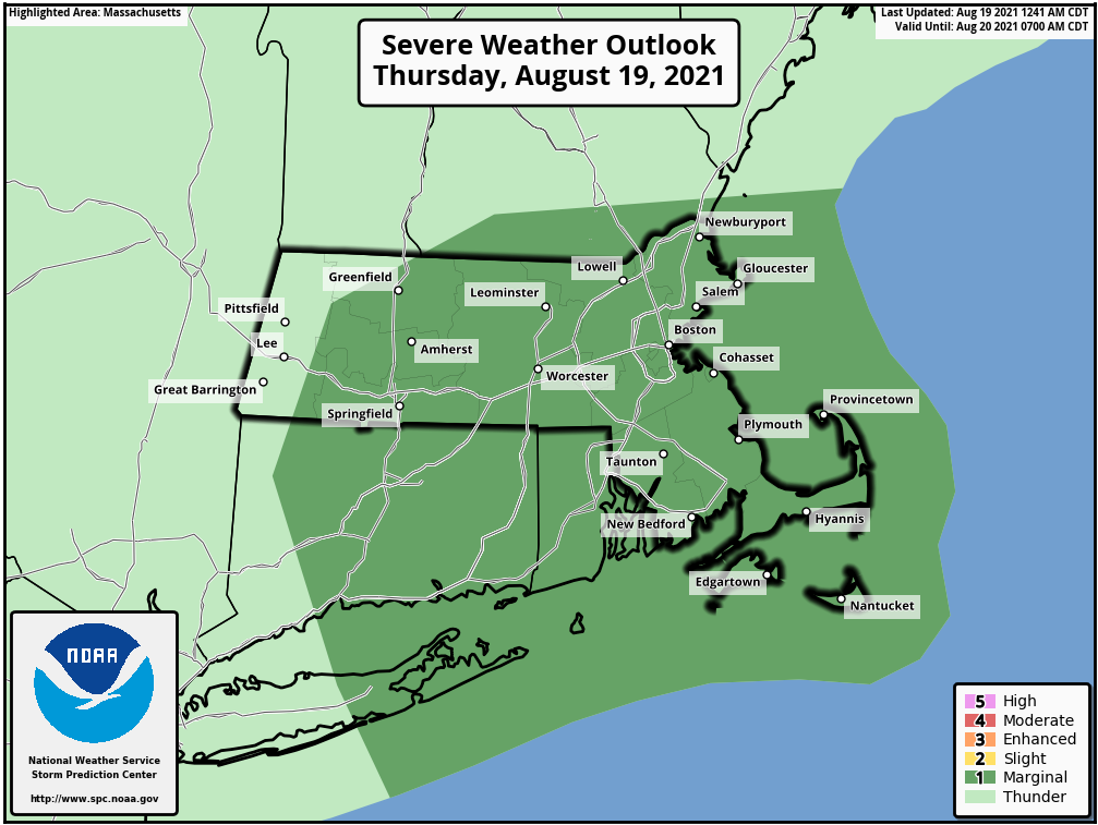
Good morning everyone, For today, there is a low chance that thunderstorms will produce wind damage in a few locations or perhaps one tornado. While you can see most of the area is included in a Marginal risk for severe weather in the attached image, the greatest threat is across southern Connecticut, Rhode Island, and southeast Massachusetts until early this afternoon. We also continue to monitor Tropical Storm Henri which is expected to bring wind, flooding rain, and storm surge impacts to southern New England Sunday into Monday. Please see the attached briefing for more information. Thanks, Joe DelliCarpini and Matt Belk If you have any questions or would like more information, don't hesitate to contact us via this email address, on NWSChat <https://nwschat.weather.gov/>, or at the following: National Weather Service Boston/Norton, MA 46 Commerce Way Norton, MA 02766 508.622.3280 Website <http://www.weather.gov/boston> | Facebook <http://www.facebook.com/NWSBoston> | Twitter <http://www.twitter.com/NWSBoston>