
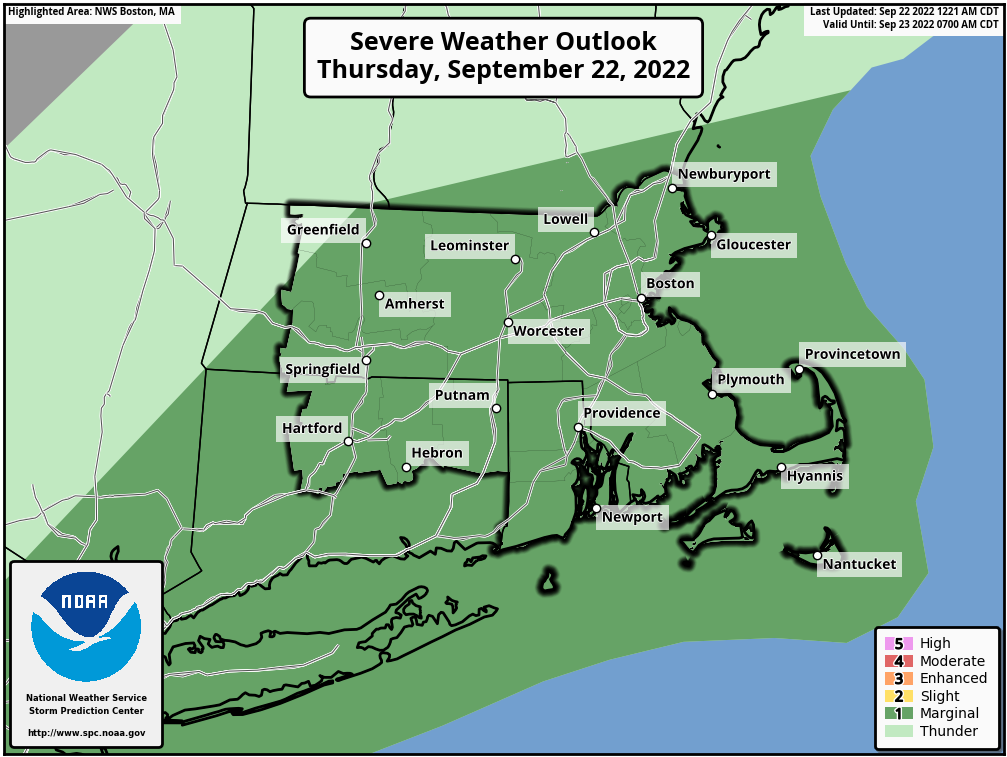
Good morning everyone Attached is a one pager for the potential of scattered strong to severe thunderstorms from early this morning into the late afternoon hours. While the potential exists across the entire region; the greatest risk will be across Eastern MA and RI in the 12 PM to 4 PM time range. The main concern with these storms will be the potential for strong to damaging wind gusts. Power outages are possible too given fully leafed trees. Dangerous cloud to ground lightning, heavy rain, and brief street flooding are also possible. Please let us know if you have any questions or concerns! Thank You! Meteorologists: Hayden Frank and Robert Megnia If you have any questions or would like more information, don't hesitate to contact us via this email address, on NWSChat <https://nwschat.weather.gov/>, or at the following: National Weather Service Boston/Norton, MA 46 Commerce Way Norton, MA 02766 508.622.3280 Website <http://www.weather.gov/boston> | Facebook <http://www.facebook.com/NWSBoston> | Twitter <http://www.twitter.com/NWSBoston>