
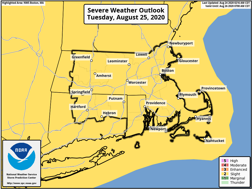
Good morning everyone, Here is the latest on the strong to severe storm risk over the next couple of days. Please note there is no graphic attached for the severe thunderstorm risk today. *Today* - Similar to the past couple of days, widely scattered strong to severe storms. *Where & When* Highest risk appears to be from the Mass Pike southward roughly between 2-8 PM *Threats* Damaging wind gusts and heavy downpours - which could lead to flooding. *Tuesday * *Where* All of southern New England (see attached graphic) *Threats* Damaging wind gusts, large hail and heavy downpours *When* Confidence low at this time - could be as early as late in the morning or as late as late afternoon Thanks, Andrew Loconto and Bill Leatham If you have any questions or would like more information, don't hesitate to contact us via this email address, on NWSChat <https://nwschat.weather.gov/>, or at the following: National Weather Service Boston/Norton, MA 46 Commerce Way Norton, MA 02766 508.622.3280 Website <http://www.weather.gov/boston> | Facebook <http://www.facebook.com/NWSBoston> | Twitter <http://www.twitter.com/NWSBoston>