
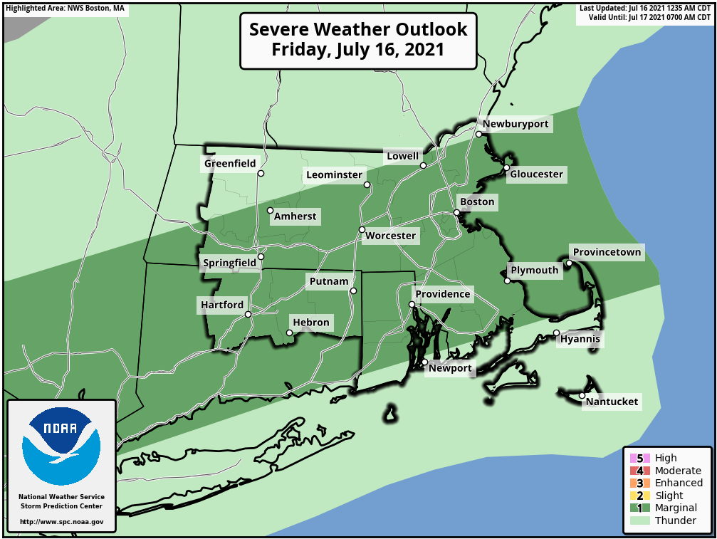
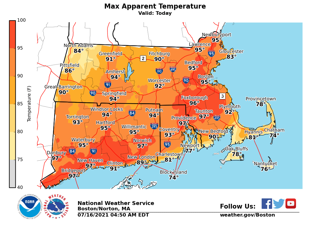
Good morning, Heat and humidity will lead to max heat index values mainly in the 90s today. This will be just short of the threshold for Heat Advisories using the one day criterion. Lower max heat index values across the higher terrain of central and western MA, as well as across the Cape and islands. The heat and humidity will fuel the possibility for isolated strong to severe thunderstorms later today. The main threats are damaging winds and downpours. Any downpours could lead to localized flooding. Matthew Belk If you have any questions or would like more information, don't hesitate to contact us via this email address, on NWSChat <https://nwschat.weather.gov/>, or at the following: National Weather Service Boston/Norton, MA 46 Commerce Way Norton, MA 02766 508.622.3280 Website <http://www.weather.gov/boston> | Facebook <http://www.facebook.com/NWSBoston> | Twitter <http://www.twitter.com/NWSBoston>