[2019.05.13 AM] Elevation Snow Event tonight and Tuesday morning

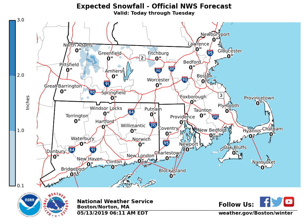
Good morning, Rain will move into Southern New England this afternoon and continue through Tuesday. The air above the ground will be cold enough to bring a mix of rain and wet snow. Accumulating snow is possible, but mainly at elevations above 1500 feet MSL. An inch or two is possible at these levels. - As displayed in the attached map, the areas most likely to be affected are in the East Slopes of the Berkshires and the northern Worcester Hills. - The most likely time of occurrence is 8 PM to 8 AM tonight and Tuesday morning. If you have any questions or would like more information, don't hesitate to contact us via this email address, on NWSChat <https://nwschat.weather.gov/>, or at the following: National Weather Service Boston/Norton, MA 46 Commerce Way Norton, MA 02766 508.622.3280 Website <http://www.weather.gov/boston> | Facebook <http://www.facebook.com/NWSBoston> | Twitter <http://www.twitter.com/NWSBoston>
participants (1)
-
 BOX Operations - NOAA Service Account